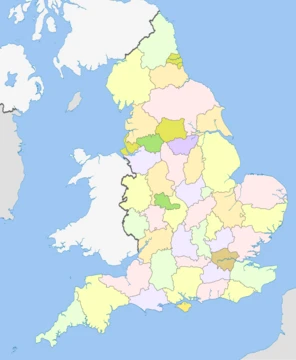
Cumberland
Historic county of North West England, later part of Cumbria.

Wikipedia / Wikimedia Commons
Cumberland is an area of North West England which was historically a county. It had an administrative function from the 12th century until 1974, when it was subsumed into the non-metropolitan county of Cumbria. In 2023, a new unitary authority area of Cumberland was created with similar boundaries to the historic county but excluding Penrith.
- Area
- North West England
- Historical status
- County
- County town
- Carlisle
- Highest point
- Scafell Pike, 3,208 feet (978 m)
- Population (1841 census)
- 178038
- Abolished (administrative)
- 1974
- Re-established (unitary)
- 2023
Lore & Background
Cumberland was bordered by Northumberland, County Durham, Westmorland, Lancashire, and the Scottish counties of Dumfriesshire and Roxburghshire. It included the city of Carlisle, part of the Lake District and North Pennines, and the Solway Firth coastline. The name Cumberland, like Cumbria, derives from the Common Brittonic word kombroges, meaning 'compatriots'.
In the Early Middle Ages, the area was part of the Kingdom of Strathclyde, where the Brittonic language Cumbric was spoken. The first record of the term Cumberland appears in AD 945, when the Anglo-Saxon Chronicle recorded the area was ceded to Malcolm I of Scotland by King Edmund I of England. After periods of Scottish control, the area returned to the English crown in 1157 under Henry II, who formed the counties of Westmorland and Carliol, the latter becoming known as Cumberland by 1177.
The county was subdivided into wards, originally military subdivisions for defence against Scottish incursions. These wards contained parishes, many of which were very large and included multiple townships. The border with Scotland was made permanent by the Treaty of York in 1237.
Reader's Guide
Cumberland's significance lies in its long history as a border county between England and Scotland, shaping its administrative and defensive structures. The county's wards, a subdivision unique to northern English counties, originated as military organizations to defend against Scottish incursions. Cumberland's boundaries, established in the 12th century, remained largely unchanged until the 1974 local government reorganization, when it was merged into Cumbria. The county's legacy includes its contribution to the formation of the Lake District National Park and its role in the industrial and mining history of the North Pennines. The 2023 re-establishment of Cumberland as a unitary authority area, with boundaries similar to the historic county but excluding Penrith, reflects the enduring identity of this region. Cumberland's population in 1841 was 178,038, and its highest point, Scafell Pike, is the highest mountain in England.
Did You Know?
- Cumberland's name derives from the Common Brittonic word kombroges, meaning 'compatriots', related to the Welsh name for Wales, Cymru.
- The county was subdivided into wards, a system also used in Durham, Northumberland, and Westmorland, originally for military defence against Scottish incursions.
- The highest point in Cumberland is Scafell Pike at 3,208 feet (978 m), the highest mountain in England.
- In 2023, a new unitary authority area of Cumberland was created with similar boundaries to the historic county but excluding Penrith.
More in English Counties 1-24
Elsewhere in the English Counties universe
Spotted an error? Know more?
This is a living reference — every entry is fact-audited, and reader corrections feed straight into our audit queue. Suggest an edit · See this site's audit record